|
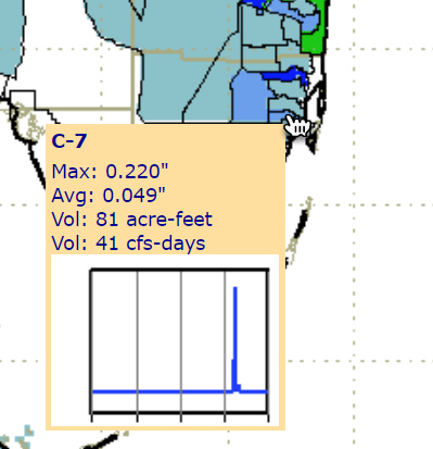
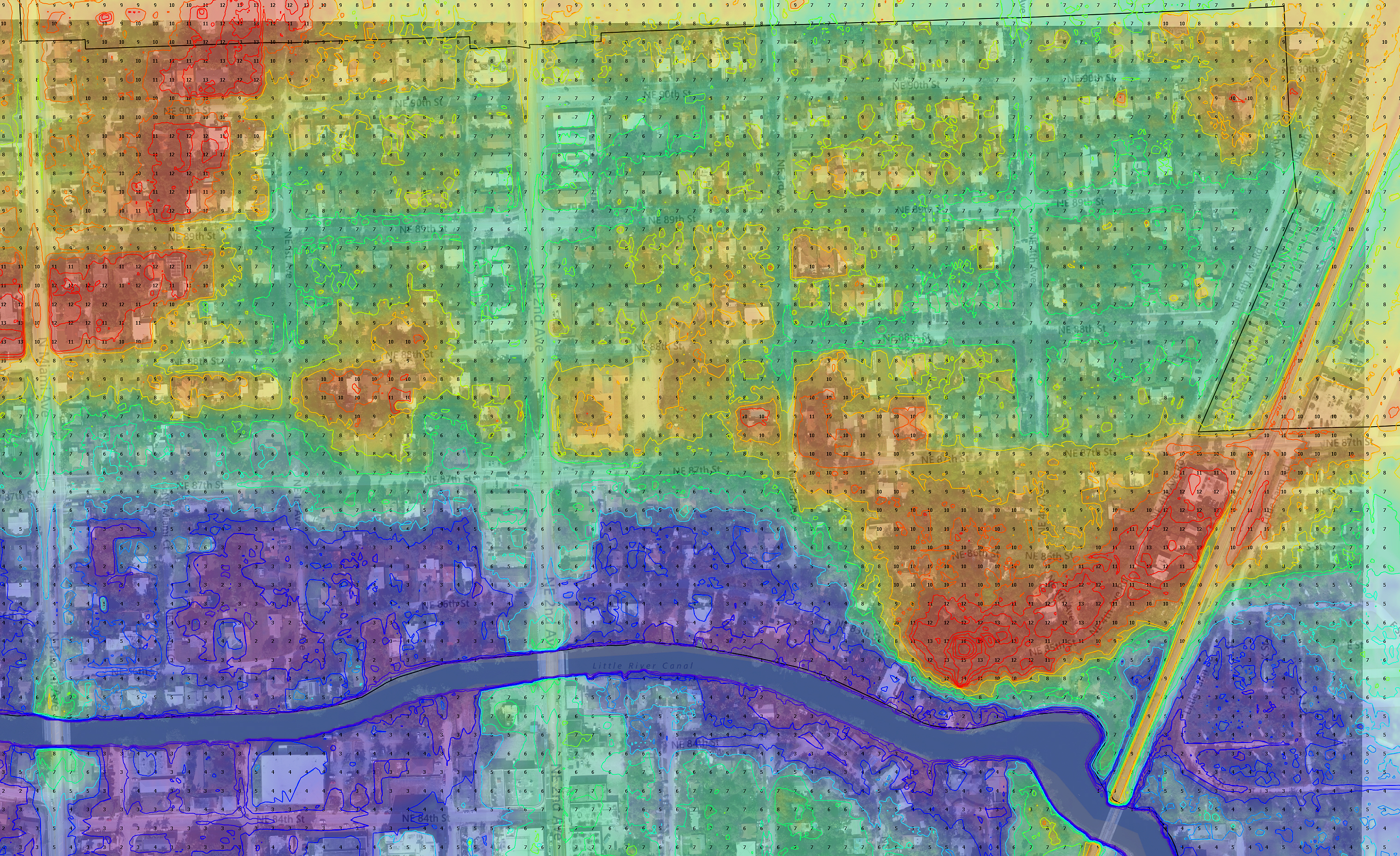
Frequently on days with very heavy rain check the C7 canal basin rain amounts since 7 am at this
link.
To see this find the C7 basin and hover your cursor over it (might have to increase size of image
browser with Ctrl +). It will look like this chart.
these are what you will need to keep a record of:
|
|
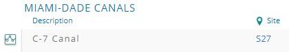
C7 canal basin rain amounts since 7 am |
